Home

Stream Crossing Aquatic Resource Inventory
Roadway Watercourse Crossing Management System

What is SCARI?
SCARI (Stream Crossing & Aquatic Resource Inventory) is a Roadway Watercourse Crossing Management System that is digital and scalable in application and use. The SCARI suite of Mobile Applications is designed to provide stakeholders with the ability to collect, track, and analyze watercourse crossing inventory data relevant to their regulatory obligations and internal roadway management programs. The program is designed to completely fulfill the objectives of the following Alberta provincial guidelines:

Why Does This Matter?
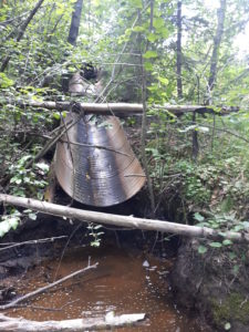
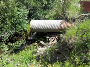
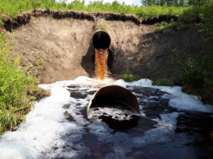
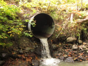
The legacy of poorly maintained WCC’s in the province has led to a rapid decline in the sustainability of the provincial fishery. Viable habitat that is lost or isolated from WCC barriers to fish passage have driven a decline in at-risk fish populations and most significantly placing several native trout populations as threatened or endangered.

The SCARI Program is a Solution:
Inventory and assess your roadway WCC infrastructure so all crossings can be risk ranked and prioritized for restoration. Operationally restore lost or isolated habitat by fixing priority roadway WCC’s and work to increase native trout populations in Alberta.
About Us
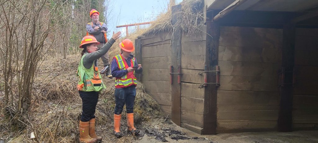
SCARI is designed and managed by Woodlands North Inc. Woodlands is a professional consulting firm that was established in 2000, Woodlands has offices in Edmonton, Whitecourt, and Grande Prairie, Alberta and operates throughout the province. The SCARI data management system was developed by Woodlands to allow clients to collect, store, query and access crossing data to be compliant with provincial inspection and reporting requirements. The system is comprised of mobile applications used to perform required inspections in the field. At any time, clients can view their data online through the SCARI website and its interactive client dashboard. The ability to predicatively model resource outputs and spatially design field work has changed the way operational work is completed.
SCARI
22,000
7
24/7
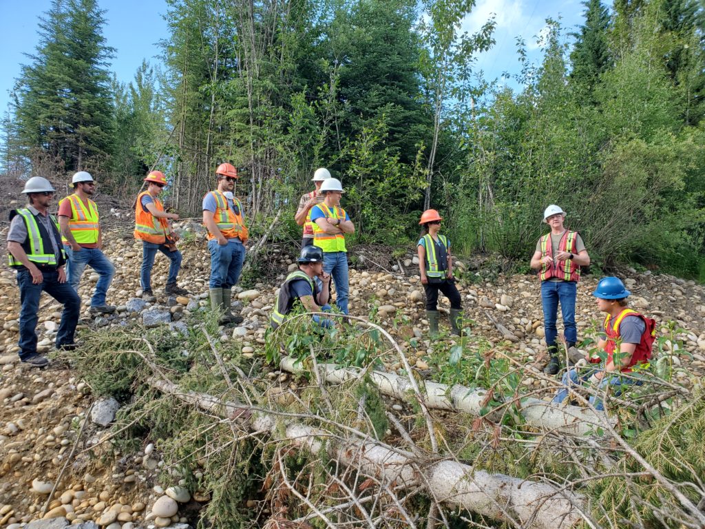
Woodlands North employs professional foresters, biologists, technicians, geomatics specialists, and Project Mangers. It is the people that make Woodlands North what it is today. Our operational fieldwork is further supported by geospatial modelers and applied ecologists who provide a scientific basis for operations and give clear solutions to problems faced by resource managers.
Our Services

The SCARI Program is a suite of mobile applications (Android & iOS) that inventory a variety of Roadway WCC attributes. The various mobile applications can operate independently or together as a complete system.
The WCC inventory and ranked data system is all housed within an interactive dashboard where roadway tenure owners can view and inspect all their WCC’s at the desktop level. Basic analysis and reporting can be completed from this dashboard.
SCARI Restoration Dashboard
The dashboard provides access to your:
- WCC Inventory Program (status and standings)
- WCC Risk Assessments
- Planned restoration activities and completed restoration works
- Upstream Kilometers restored, and financial spend to date on restoration works
Data collected in the field by a WCC Surveyor is submitted directly to your database and once processed through quality control can be accessed immediately through your Client Login

SCARI
Designed for assessing a WCC and collecting a complete data set that is compliant with all regulatory and customized operational criteria. This process will establish the risk for any Watercourse Crossing.
Fulfills all Government of Alberta regulatory requirements.

SCARI Lite
Designed to inventory basic information of new, repaired, or reclaimed crossings.
This is considered a citizen science level of inventory work and can be used by untrained surveyors to report on completed works, to report on high-risk sites located when in the field, or to conduct a basic locational and photographic inventory.

SCARI Bridge
Designed to collect the required Watercourse Crossing Assessment criteria as well as track a complete set of bridge parameters, measurements & conditions: Improve Infrastructure Management.

SCARI Thermal
A custom-made SCARI dBase for WCC’s located on Thermal or SAGD Plant Site Facilities that often operate under increased federal and provincial regulatory guidelines.

SCARI Maintenance
Designed to manage an ongoing watercourse crossing Maintenance Program. Allows road owners to track maintenance of crossings that have serious concerns.

SCARI Restoration
Designed to asses a WCC once it has been restored. This will allow a before and after comparison to be made at the dashboard level.

SCARI Habitat Assessment
Designed to assess a natural watercourse prior to a WCC installation or to document natural site conditions.
Courses
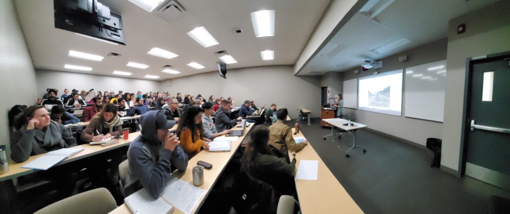
Register
Get in contact with our training staff to register yourself or company.
Online/In-Person
- SCARI Inventory
- Best Management Practices
- Quality Control
Schedule
- Winter 2022
- Spring 2022
- Summer 2022
- Fall 2022
Availability
Courses are available in both synchronous – attend at a scheduled time and asynchronous – at your own pace.
Photo Gallery


Contact Us
Edmonton
11316 119 St NW, Edmonton, AB
T5G 2X4, Canada
Grande Prairie
106-9715 105 St. Grand Prairie, AB
T8V 7X7, Canada
Whitecourt
4012 41st Ave Whitecourt, AB
T7S 0A9, Canada

